


Products
Your Cart
| 0 Product(s) in cart |
| Total $0.00 |
| » Checkout |
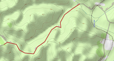
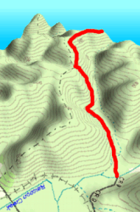
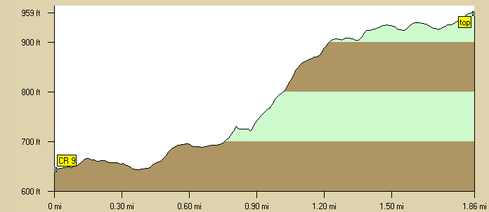
Hawk Station Hill
|
|
|||||||||||||||||||||||||||
Best Bargains
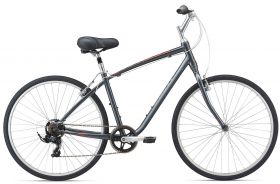
Giant Cypress
$359
$9.99
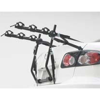
Hollywood Express Trunk Rack
$74.99
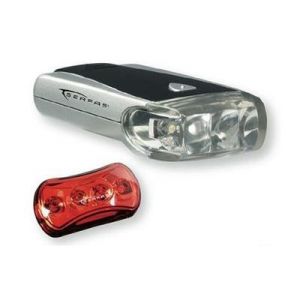
Serfas Combo LED Light Pack
$29.99
Shop Brands We Love


